Commercial UAV Services
-

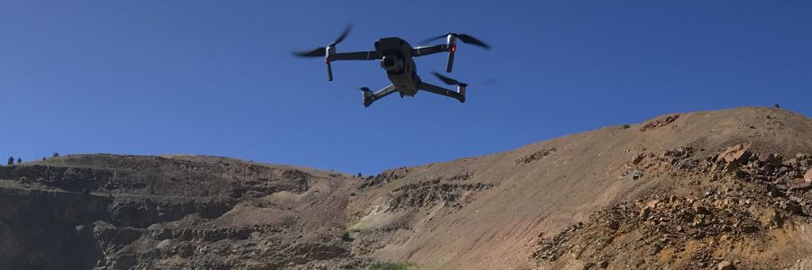
Surveying & Mapping
Efficiently survey mountainous terrain and water bodies using drone technology alongside traditional methods in a fraction of the time it takes to manually survey on the ground.
Data acquisition capabilities: RGB, LiDAR, Thermal, Multispectral, Hyperspectral -

GIS Analysis & Modelling
Visualize and analyze your data using software like ArcGIS and Pix4D. We deliver:
- Elevation models
- Thermal maps
- LiDAR point clouds
- and more!
-

Digital Twin Creation
Create 3D models of structures and ecosystems with a simple drone flight. We can then use this data to create animated flythroughs of the resulting point clouds, track changes over time, and pinpoint areas of concern. -

Videography
Capture video from an aerial perspective with the help of drones, giving you unique and stunning visuals for various applications like VR experiences, special events, website content, or marketing.
Surveying & Mapping
Data acquisition capabilities: RGB, LiDAR, Thermal, Multispectral, Hyperspectral
GIS Analysis & Modelling
Visualize and analyze your data using software like ArcGIS and Pix4D. We deliver:
- Elevation models
- Thermal maps
- LiDAR point clouds
- and more!
Digital Twin Creation
Videography
UAV Testing and Development
Whether you are an individual with an idea or a company looking to venture into the drone world, we provide comprehensive support in the form of tools, technical support, and space. Partner with us to develop, build, and test your unmanned aerial systems, turning your vision into reality.
-

Proto Lab
Bridge the gap between research and real-world applications through mechatronics—the integration of mechanical, electrical, and software systems. The Proto Lab provides end-to-end prototyping support to help you transform complex concepts into functional, field-ready hardware.
Prototyping capabilities: Hardware design, CNC machining, embedded systems, robotics, and AI/ML at the edge.
-

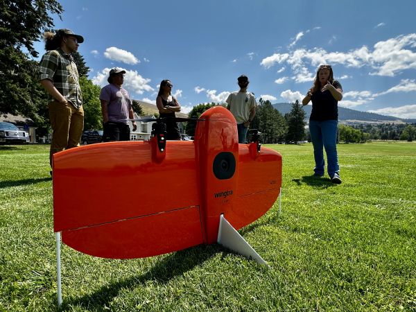
Beta Testing & Payload Integration
Accelerate your product development with comprehensive field validation using our diverse UAS fleet. From multirotor to VTOL fixed-wing platforms, we provide the aerial infrastructure and technical expertise required to integrate, test, and refine custom sensors and hardware in demanding real-world conditions.
Testing capabilities: NDAA-compliant fleet, custom payload integration, VTOL & fixed-wing operations, sensor validation, and performance benchmarking.
-

Validate next-generation sensing and autonomous systems across 21,000+ acres of rugged, ecologically diverse terrain. As a premier natural testbed, LEF provides the infrastructure and airspace permissions required to move technology from the lab to high-stakes, real-world environments.
Site capabilities: FAA waivers (2,000' AGL & 5-mile BVLOS), live prescribed burns, centimeter-grade GNSS accuracy, integrated mission control, and on-site lodging.
-

Waiver Support
If looking to perform advanced operations, our office has the experience and technical knowledge to help write waivers for the FAA, enabling you to focus on the project at hand.
Proto Lab
Bridge the gap between research and real-world applications through mechatronics—the integration of mechanical, electrical, and software systems. The Proto Lab provides end-to-end prototyping support to help you transform complex concepts into functional, field-ready hardware.
Prototyping capabilities: Hardware design, CNC machining, embedded systems, robotics, and AI/ML at the edge.
Beta Testing & Payload Integration
Accelerate your product development with comprehensive field validation using our diverse UAS fleet. From multirotor to VTOL fixed-wing platforms, we provide the aerial infrastructure and technical expertise required to integrate, test, and refine custom sensors and hardware in demanding real-world conditions.
Testing capabilities: NDAA-compliant fleet, custom payload integration, VTOL & fixed-wing operations, sensor validation, and performance benchmarking.
Validate next-generation sensing and autonomous systems across 21,000+ acres of rugged, ecologically diverse terrain. As a premier natural testbed, LEF provides the infrastructure and airspace permissions required to move technology from the lab to high-stakes, real-world environments.
Site capabilities: FAA waivers (2,000' AGL & 5-mile BVLOS), live prescribed burns, centimeter-grade GNSS accuracy, integrated mission control, and on-site lodging.